3D / Topography
SARRASOLA accompanies you from the beginning of your project, to the projection on your land, and its analysis.
Our expertise covers 3D laser scanning, modelling and topography.
Acquisition by laser scanner
We have mastered 3D laser scanner technology over the last 15 years.
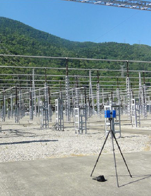
We have mastered 3D laser scanning techniques over the last 15 years. We process and enhance your 3D data. We carry out data acquisition through static and dynamic terrestrial laser surveys, especially for linear surveys. We also master airborne surveys with our privileged partners, particularly in the field of overhead power lines.
Data retrieval
The data collected can be delivered to you raw or post-processed. It is available at any stage of a project:
- Definition of a preliminary project
- Communication
- Integration of a 3D project
- Feeding a GIS or BIM database
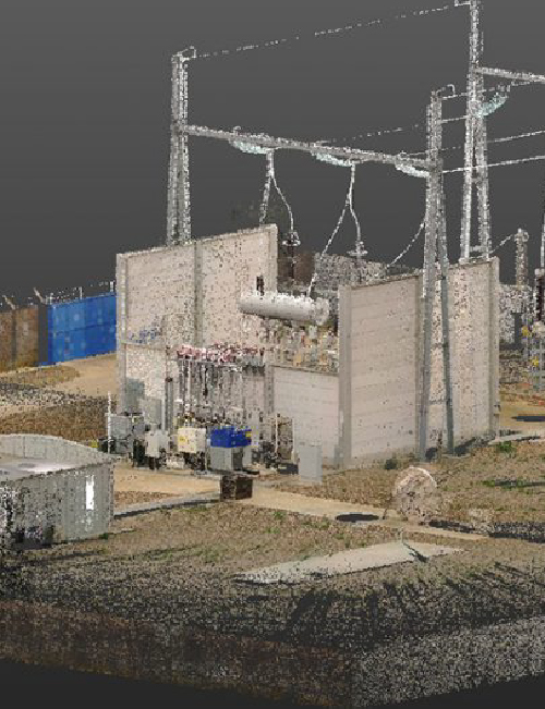
Custom 3D modelling
Processing, and enhancement of 3D data are at the heart of our expertise, particularly through optimised modelling.
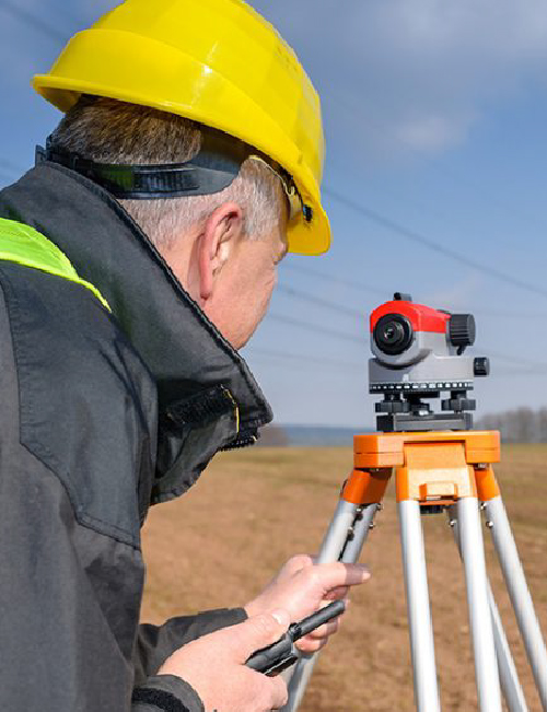
Topography
Our engineers and topographers will study your needs and provide you with the most appropriate solutions, always in compliance with the current regulations and standards

Topography
Topography covers all services producing and using cartographic data. Our engineers and topographers will study your needs in order to provide you with the best solutions for your project.
We carry out field measurements, calculate, draw, and edit plans. Our services range from geodetic measurement (GPS) to the delivery of integrated map data (GIS).
We provide several services in topography:
- Production of topographic plans at different scales
- Survey of the street structure with network transfer
- 3D modelling and rendering for construction projects
- Precision layout in civil engineering
- Review after works
- Precision polygon calculation
- Georeferencing
- Precision direct levelling
- Longitudinal and cross-sectional profile
- Monitoring of operations in landfill sites.
- CAD/CAM
- Civil engineering and architectural cross-sections
- Construction drawings, interior drawings, façade drawings and 2D/3D drawings
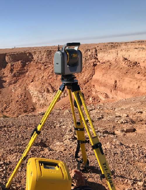
Our topography measuring devices
3 total stations
- Leica TCR1205
- Leica TS06
- Trimble SX10 (with integrated scan)
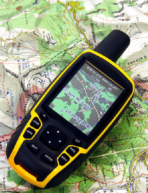
GNSS system
- Trimble R8 with TSC3 controller (Orphéon mode: quick and easy, and pivot/mobile use – for coverage of all areas)
- Trimble Geo XT: GNSS for metric positioning in wooded areas
Would you like to know more about our expertise in 3D laser scanning, 3D modelling or topography? Contact us now.
Archive
DIGITIZATION AND MODELING
3D at the heart of our expertise